
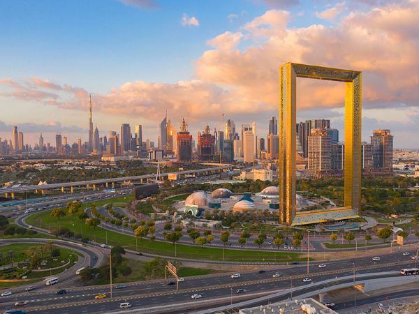
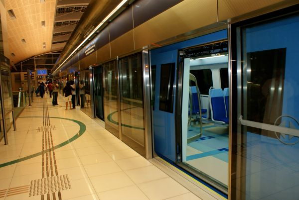
The Dubai Metro Blue Line is a vital growth in Dubai’s strategic infrastructure which will support the daily commute network and reshape public transportation accessibility in the emirate. According to the Roads & Transport Authority (RTA), the upcoming project covers around 30 km and will include 14 new stations, connecting major residential, academic and commercial areas.
Let’s discuss the structure of the route in detail and understand how it will impact the public transport accessibility of the city and the locations of the stations.
Route Overview & Structure
The Metro Blue Line will actually comprise two distinct routes that interconnect with the existing metro network.
- Primary route: About 21 km long, serving 10 stations.
- Secondary route: Around 9 km long with 4 stations.
- Altogether: 14 stations across approximately 30 km.
The route will include both underground (approx. 15.5 km) and elevated sections (approx. 14.5 km).
Station Locations & Key Interchanges
Here are some of the major station locations and interchange points to look out for:
Al Jaddaf:
The existing Creek Station at Al Jaddaf will be the first route of the Dubai Metro Blue Line station. People will connect directly from the Green Line to the Blue Line at the interchange station. Beautiful views and easy access to Dubai Creek can be found in a vibrant waterfront neighbourhood in the northern part of the city.
Centrepoint (Al Rashidiya):
The terminal of the smaller route, where the second route begins – Al Rashidiya is currently called Centerpoint Station and interchanges with the existing Red Line. It is one of the three metro stations with free car park availability, which enhances accessibility.
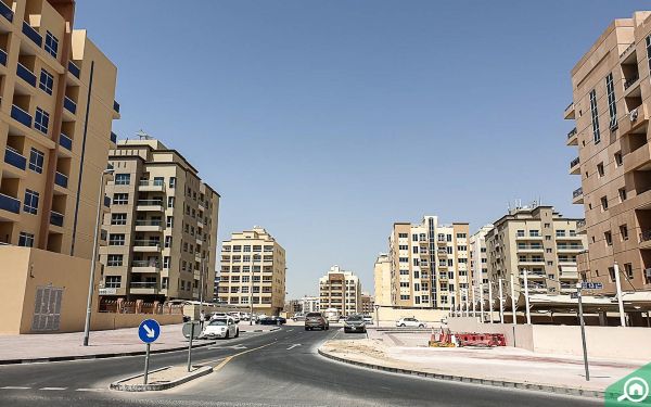
International City (three stations):
International City is one of the areas to benefit the most from the Dubai Metro Blue Line Station, as there will be three stations allowing greater connectivity across the existing Metro lines. All three stations will be included on the bigger 21 km route visited by more than 200,000 residents and visitors.
Dubai Creek Harbour (Emaar Properties station):
Dubai Metro’s Blue Line station, designed to manage up to 160,000 people, will be the largest metro station in the world and is expected to be a worldwide architectural wonder. The 1,300-metre-long elevated bridge that will be constructed to transport the Metro across the waters of Dubai Creek is a noteworthy engineering achievement for the project. The project will serve as a development hub of Dubai Creek Harbour.
Academic City:
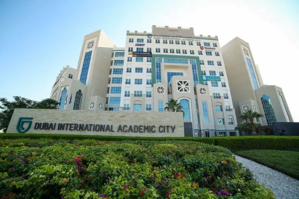
Serving institutions like Heriot-Watt and Middlesex University, this station will provide transportation to the vast university town, which spans over 129 million square feet and is predicted to accommodate more than 50,000 students by 2029.
Dubai Silicon Oasis (DSO):
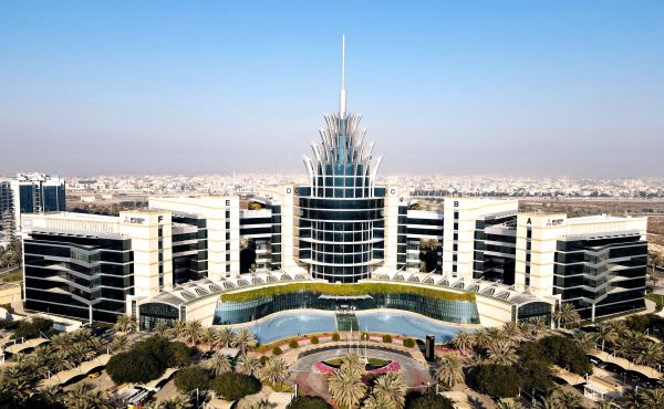
A technology and innovation hub central to Dubai’s 2040 Urban Master Plan calls for significant development in Dubai Silicon Oasis. The 21-kilometre route on the Dubai Blue Line station will improve connectivity significantly.
Al Warqa:
This Blue Line station will connect directly to the Blue Line metro via a smaller line which covers a residential area (approx. 60,000 residents) and is home to Dubai Safari Park.
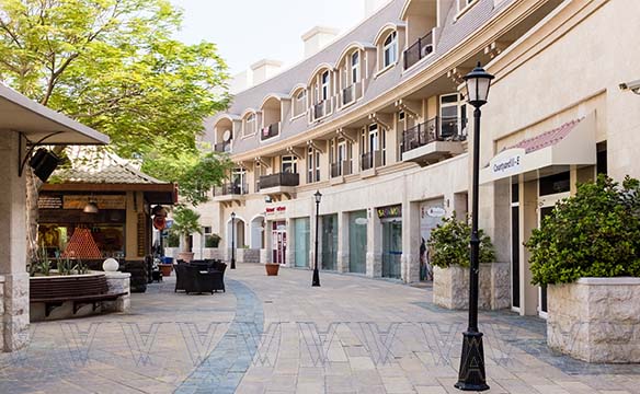
Dubai Festival City:
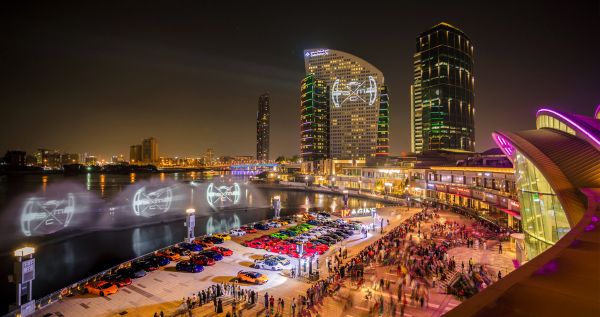
A mixed-use zone with a major mall and around 77,000 residents, the Blue Line will cut reliance on current boat/abra services.
Mirdif:
A popular suburban community will have a direct link via the larger route to key areas like Mirdif City Centre and Al Mushrif Park.
Ras Al Khor:
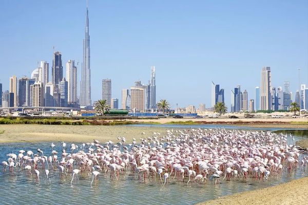
Located between International City and Dubai Creek Harbour, it will offer improved access even for nature enthusiasts going to the flamingo sanctuary there.
Why This Line Matters
- Connectivity: Integrates the Red Line and Green Line and adds access to previously underserved high-growth zones.
- The project will reduce the travel time from key communities to the airport by around 20 minutes.
- The new metro line will cut the rush-hour traffic along the corridor by around 20%.
- Urban growth & property boost: Land and property values near the stations are anticipated to rise up to 25%.
- Alignment with master plan: The project supports the Dubai 2040 Urban Master Plan and the “20-minute city” concept — over 80% of essential services are accessible within 20 minutes.
Timeline & Current Status
- The project will be completed, estimated by September 2029 to celebrate the original Dubai Metro Launch’s 20th anniversary.
- The construction will be 10% complete by 2025, with a target of 30% by the end of 2026.
- The Value of this mega project is Contract AED 20.5 billion (approximately US $5.6 billion).
Implications for Residents
- If you live, work, or invest in communities like International City, DSO, Academic City, Mirdif, Al Warqa, or Dubai Creek Harbour, your commute, connectivity, and property potential are likely to improve.
- For urban travellers and airport access especially, the metro line will significantly reduce travel times, potentially making some car journeys obsolete.
- Future station hubs may increase foot traffic and demand for businesses along the route by offering a display, retail, or service presence.
- Dubai Blue Line Stations serves as a reminder to stakeholders and city planners of Dubai’s commitment to integrated urban mobility, sustainability, and transit-oriented development.
The Dubai Metro Blue Line stations aim to enhance urban connectivity, Shorten commute durations, relieve traffic, and enhance real estate and economic value, which will scale up metro reach into tech districts, advancing residential and academic growth along its corridor by 2029. 14 well-located stations spread across two connected lines. The project’s well-defined roadmap highlights how this investment marks a significant advancement in the transportation system of the city’s urban vision and mobility goals.